Projects
Plantau.be
I have developed a free web application that makes it easy to quickly create urban planning maps using OpenStreetMap data. In addition to the OSM data, you can add shadows, textures, aerial photos, or AI-detected trees.

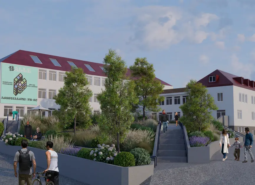
RUBIX ROHRBACH
Focusing on the development of an abandoned elementary school, we developed a modular usage concept that works with the existing buildings structure. Inspired by the Rubik’s Cube we have transformed the schools rigid classroom grid into a flexible framework. By „turning“ the existing layout, we unlock a versatile ecosystem where living, commercial, creative, and hospitality spaces coexist in synergy.
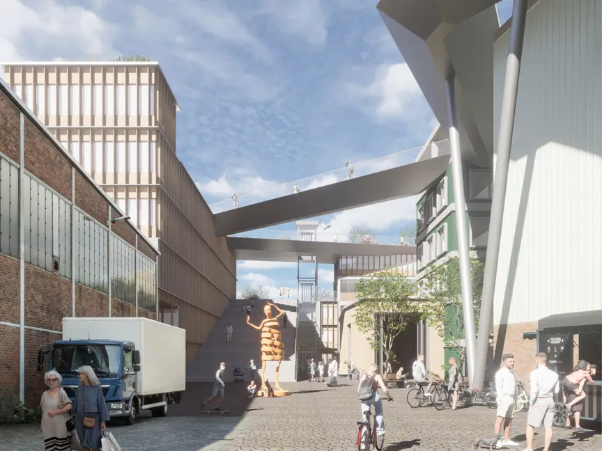
Transform Heritage
The “Edeka Award” urban planning student competition focused on how to approach the historic stock of several warehouses in Harburg, in southern Hamburg. As part of an interdisciplinary team, we developed ideas for repurposing and adding new usage on top of the existing buildings, as well as integrating them into the existing urban fabric, complemented by a newly designed quarter.
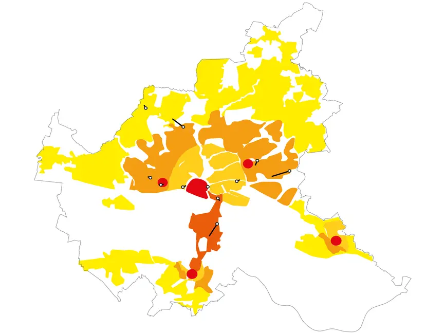
The “urban zone" in the context of Hamburg’s urban development policy
In my bachelor‘s thesis, I examined how the new type of zoning code in the German building law, the “urban area” aligns with the current strategic goals of the City of Hamburg. Therefor I reviewed legal literature as well as the city‘s strategic plans.
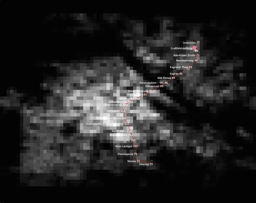
Agent-based Simulation: Vienna Subway
An agent-based simulation of Vienna’s U1 subway line, exploring how passenger flow emerges from surrounding population density and how train capacity affects station congestion.